Lower Hazel/ Muddy Run/ Indian Run
Upper Rappahannock/ Jordan & Subwatersheds
Lower Thornton & Subwatersheds
Upper Thornton & Subwatersheds
Upper Thornton River Subwatersheds
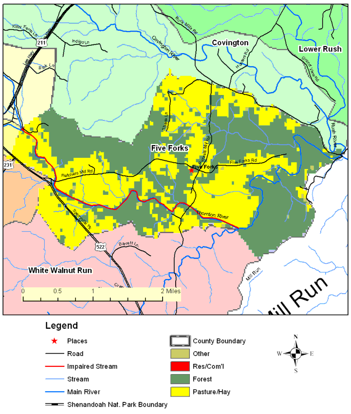
Land Cover Map, Five Forks
Click on the map for your watershed, or use the link on the left.
Using the menu at the top will give you maps as indicated and as available. The links below contain information on your watershed.